How do public specialists survey flood-affected areas in Latvia with a drone?
SIA "Dronelab" is a Latvian company engaged in commercial diving, drone services and technology development. The company was founded in 2006. when two Latvian divers and a certified construction specialist started a mission to provide professional services12. One of the company's activities is the use of drones for various purposes, such as underwater environmentally friendly surveying, land and water area management from the air, natural resource management and possible disaster prevention.
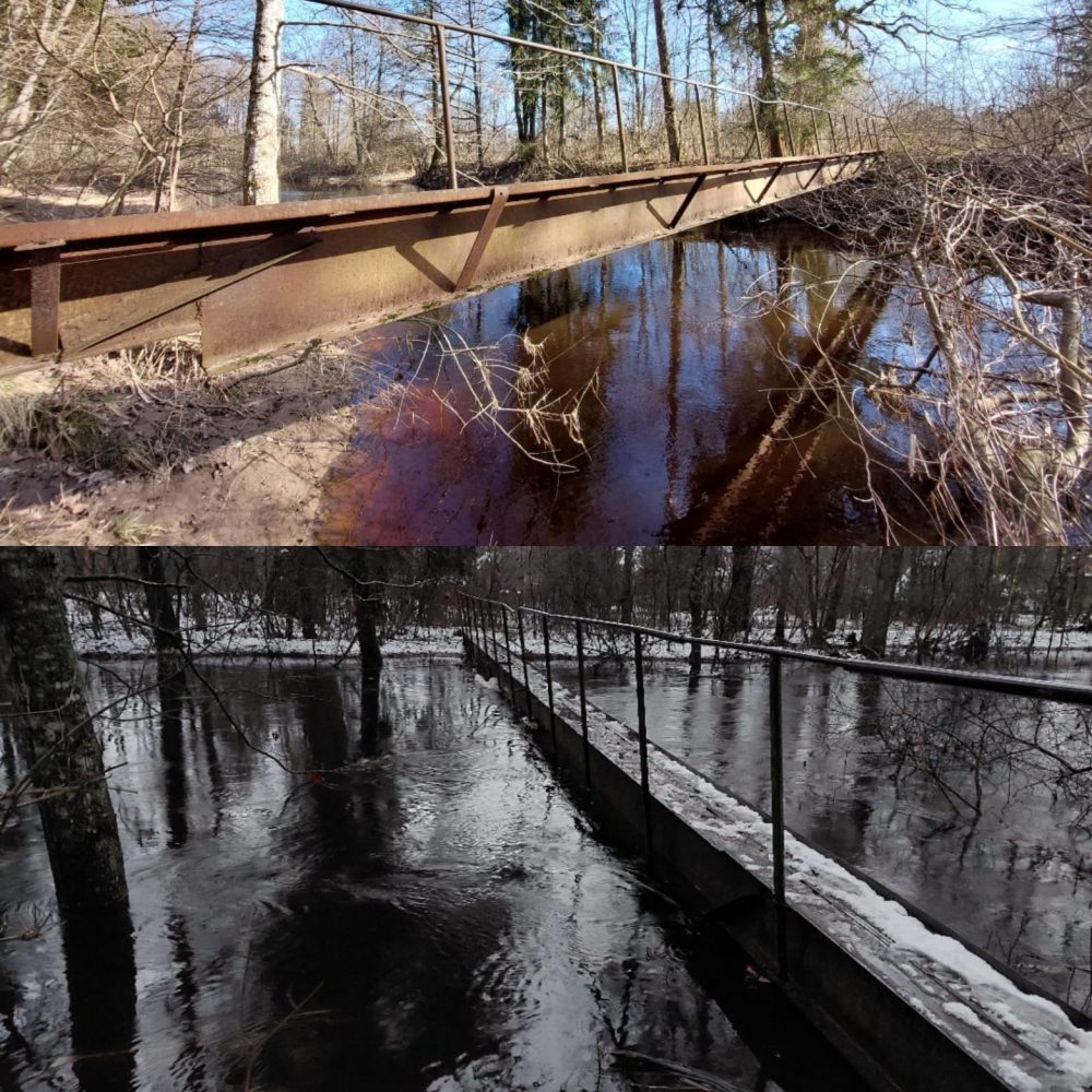
Floods in the entire territory of Latvia
Recently, there were serious floods in Latvia, which affected several counties, mainly in Latgale, but also in Vidzeme and Zemgale. The floods caused heavy losses to farmers who could not harvest their crops and also threatened people's lives and health. The government declared an emergency in agriculture and entrusted the management of the crisis to the Minister of Environmental Protection and Regional Development, Kaspars Gerhard.

Drones in flood surveying
SIA "Dronelab" participated in the survey of flood-affected areas and providing assistance using its drones. The company's specialists carried out flood mapping with the help of drones, assessed the damage caused by the flood, identified risky places, as well as provided information and coordination to rescue services and municipalities. SIA "Dronelab" also used drones to deliver essential goods and medical aid to residents isolated by the flood.
Drones have proven to be reliable surveyors systems
But how do drones know where and how you flew? How do they avoid obstacles and collisions? How do they coordinate their flights with other drones and air traffic regulations? In the following, we will look at how drones fly along a path of programmed geographic points in regular orbits, and what are the advantages and disadvantages of this method.
Flying drones to a programmed geographic point
Flying drones along a programmed path of geographic points at regular intervals is one possible way to plan and control drone flights. This method means that the pilot or operator of the drone must create a flight plan consisting of several geographic points that indicate the location, altitude, speed and direction of the drone at each stage of the flight. These points are entered into the drone's computer or mobile app, and the drone follows them automatically using GPS or other sensors. These types of flights are called regular passes because the drone repeats them at a specific time and sequence, such as daily or weekly. This method is suitable for drone flights that require precision, stability and repeatability, such as for scientific, commercial or military purposes.
The drone survey method also comes with some challenges and limitations
- First, the drone pilot or operator must be aware of the area of flight and its peculiarities to avoid potential obstacles such as buildings, trees, power lines or other drones.
- Second, the drone pilot or operator must comply with the safety and legal requirements that apply to drone flights, such as no-fly zones, maximum altitude, permitted sight distance, and others.
- Third, the drone pilot or operator must be prepared to respond to unforeseen circumstances, such as changing weather conditions, technical problems, accidents, or emergencies that may require the flight plan to be modified or interrupted.
A skilled drone pilot can fly 0.5 meters above water
Valters Preimanis, head of SIA "Dronelab", says that drones are very useful in flood situations, because they can fly high and low, enter hard-to-reach places, transmit videos and photos, as well as perform various actions that require precision and speed.4. He also emphasizes that drones are environmentally friendly because they do not emit carbon dioxide and do not damage nature. Preimanis says that SIA "Dronelab" is ready to cooperate with state and municipal authorities to use drones for flood prevention and elimination of consequences in the future.
SIA "Dronelab" is an example of how Latvian companies can use modern technologies to help society and the environment in difficult circumstances. Drones are a tool of the future that can contribute to many fields such as science, education, culture and tourism. SIA "Dronelab" is one of Latvia's leaders in the field of drones, which is well received both in Latvia and abroad1.
The company's specialists offer a wide range of services
The company's specialists have the opportunity to perform various underwater engineering works (for the work of underwater diving specialists, equipment that is employed in providing services is used - motor boats, diving compressors, balloons, diving suits, underwater communication equipment, underwater video cameras, underwater ROV, underwater lateral sonar, underwater multi-beam echo sounder, underwater magnetometer, underwater metal detector, underwater ultrasonic thickness gauge and various pneumatic and hydraulic instruments) and cleaning works from water bodies.
Work manager – "Dronelab" SIA, phone number tel. 220-77-202, e-mail: [email protected]