Table of Contents
Creating a depth map of ports, lakes, quarries, rivers and lakes
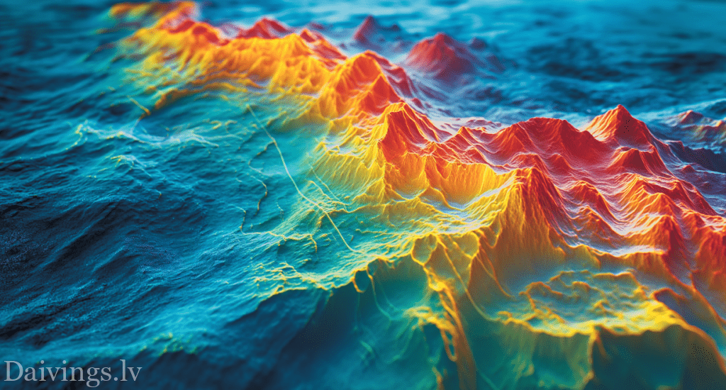
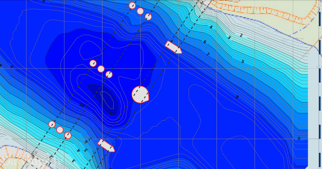
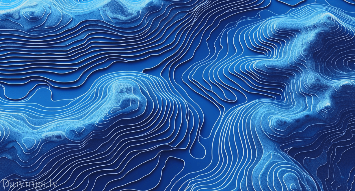
Company Dronelab Ltd offers underwater surface mapping services for ports, lakes, quarries, rivers and other bodies of water. Using advanced equipment, drones and high-precision sonar sensors, we can create detailed 3D underwater surface maps, which reflects the relief of the bottom of the water body and the arrangement of objects, isolines (depth curves) with depth marks in meters.

Underwater technical works of bathymetry
What is bathymetry?
Bathymetry is the science of studying underwater terrain by measuring depth. These measurements can be used to create detailed underwater maps that are useful in a variety of industries, including:
- Hydrology and Oceanography: Understand water body dynamics, flood risk and shoreline erosion.
- Shipping: Ensure safe navigation and plan port infrastructure.
- Construction: Plan the construction of bridges, dams and other hydrotechnical structures.
- Environmental Science: Explore ocean floor sediments and habitats.
- Archaeology: Find sunken ships and other historical sites.

How does Dronelab perform bathymetry work?
Dronelab uses a specially equipped motorboat and modern equipment equipped with high-precision sonar sensors. High-precision equipment surveys along a predetermined route, making regular depth measurements. The collected data is processed with specialized software to create detailed 3D underwater maps.
Advantages of Dronelab bathymetry work:
- High precision: Multibeam acoustic sonars capable of accurate depth measurements even in shallow and difficult water bodies.
- Efficiency: Bathymetry work from boats with drones can be done quickly and efficiently compared to traditional methods that use ships.
- Availability: Multibeam acoustic sonars can access hard-to-reach places where the use of ships is not possible.
- Safety: Multibeam acoustic sonars use reduces the risk to workers as there is no need to be on the water.
- Environmental friendliness: Multibeam acoustic sonars use has a lower environmental impact compared to the use of ships.
Dronelab bathymetry services:

Dronelab offers a wide range of bathymetry services that include:
- Creating underwater maps: We create detailed 3D underwater maps for various needs.
- Depth measurements: We perform accurate depth measurements in water bodies with different bottom reliefs.
- Coastline Mapping: We map coastlines to assess the risk of erosion and flooding.
- Calculation of the volume of the water body: We calculate the volume of the water body, which is important for hydrological studies.
- Finding and exploring underwater objects: We use drones to find and explore sunken ships, planes and other underwater objects.
Dronelab: 10 years of experience in bathymetry
Dronelab is a professional bathymetry company with 10 years of experience in this field. We offer a wide range of bathymetry services including:
- Creating underwater maps: We create detailed 3D underwater maps for various needs using modern drones and high-precision sonar sensors.
- Creating depth maps: We create accurate 2D depth maps that reflect the bottom relief of the water body.
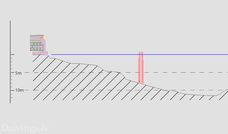
- Creating depth cross-section maps: We create vertical depth cross-sections that provide detailed information about the bottom profile of the water body.
- Marking objects: We mark underwater objects, such as sunken ships, planes and other objects, on maps.
Our services are available for water bodies with a depth of 0.20 to 20 meters. The use of drones allows us to carry out bathymetry work quickly, efficiently and safely compared to traditional methods using ships.
Contact Dronelab:
If you need bathymetry work, please contact Dronelab. Our experienced specialists will provide you with advice and help you choose the optimal solution for your needs.
Phone: 257-290-44

