Table of Contents
Riga HES provides environmentally friendly electricity production
Daugava hydroelectric power plants produce up to 90% of electricity, which is produced in Latvia using renewable resources and without releasing emissions into the atmosphere. Daugava HPP provides environmentally friendly electricity production, as it uses a renewable energy resource - water.
The establishment of the Riga HPP Daugava is shrouded in history
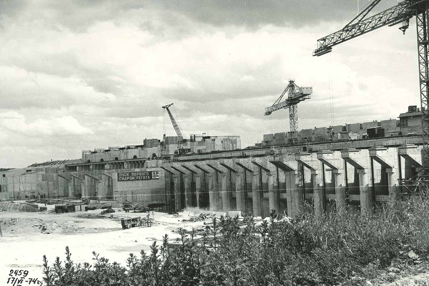
In the recent past, people lived there on the banks of the Daugava, now the settlements are under water. Some places in the Daugava have been flooded by the Riga HPP during its construction. Riga HPP is the last, newest Daugava hydroelectric power station and the second largest power station in Latvia. It was built between 1966 and 1974 and is located 35 km from the mouth of the river, in the Gulf of Riga. The maximum drop of HES is 18 meters.
Riga HES provides water supply to Riga
The Daugava river, Riga HPP also works for the needs of Riga's water supply, supplying water to Riga through pipes and providing 44% of the amount of water consumed in Riga. The delivery takes place from the HES pumping station, on the left side of the Daugava.
During the construction of the Riga HPP, major changes were made in the Daugava
During the construction of the water reservoir, dams, dams and embankments were filled in a length of 27 km, blocking the upper part of the Dry Daugava. The eastern end of Dole Island, several surrounding islets (Mārtiņsala, Nulpe), as well as the rapids upstream of Dole Island were flooded when the reservoir of the Riga HPP was filled.
During the flooding of the HPP, several archaeological monuments (settlement sites, ancient graves) in the long-inhabited part of the Daugava valley were covered with water. As the water level rose, 5 new islands with a total area of around 200 ha were formed. The largest is Náves sala on the site of the former peninsula between Daugmali and Saulkalni. On one of the new islands in front of Ikškilei, there are the ruins of the church of St. Maynard.
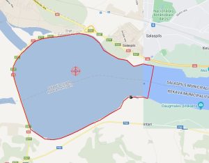
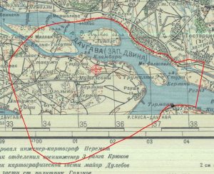
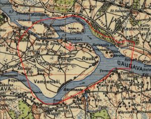
Location of Riga HPP, old topographical maps
Maps from 1929 and 1940 show many flooded settlements. Circled with a red line are the current locations of the coast.


