Champagne from the 19th century was discovered in the bottom of the Baltic Sea, in the wreck of a sunken ship
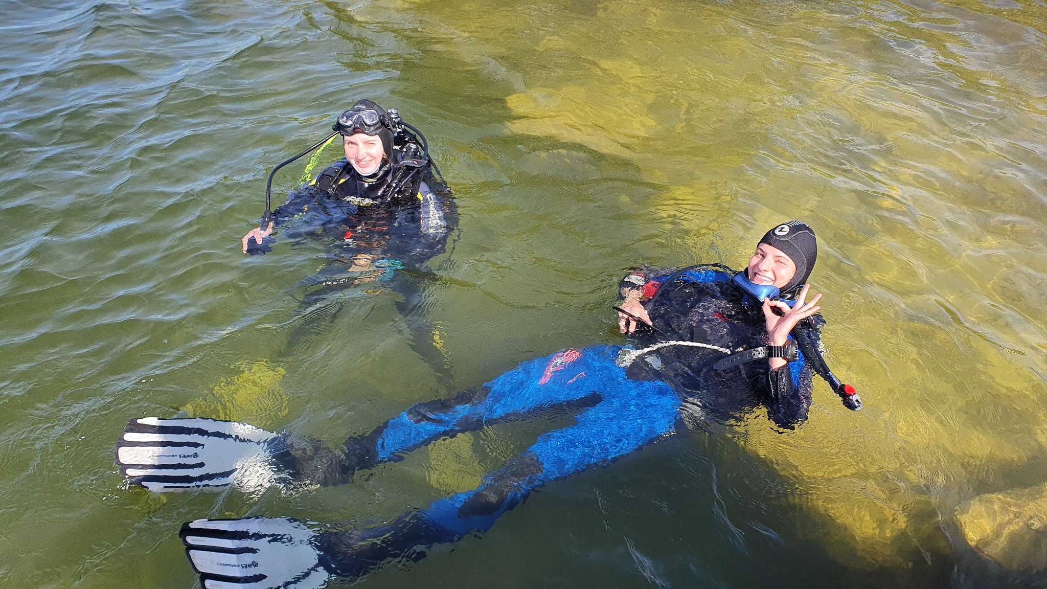
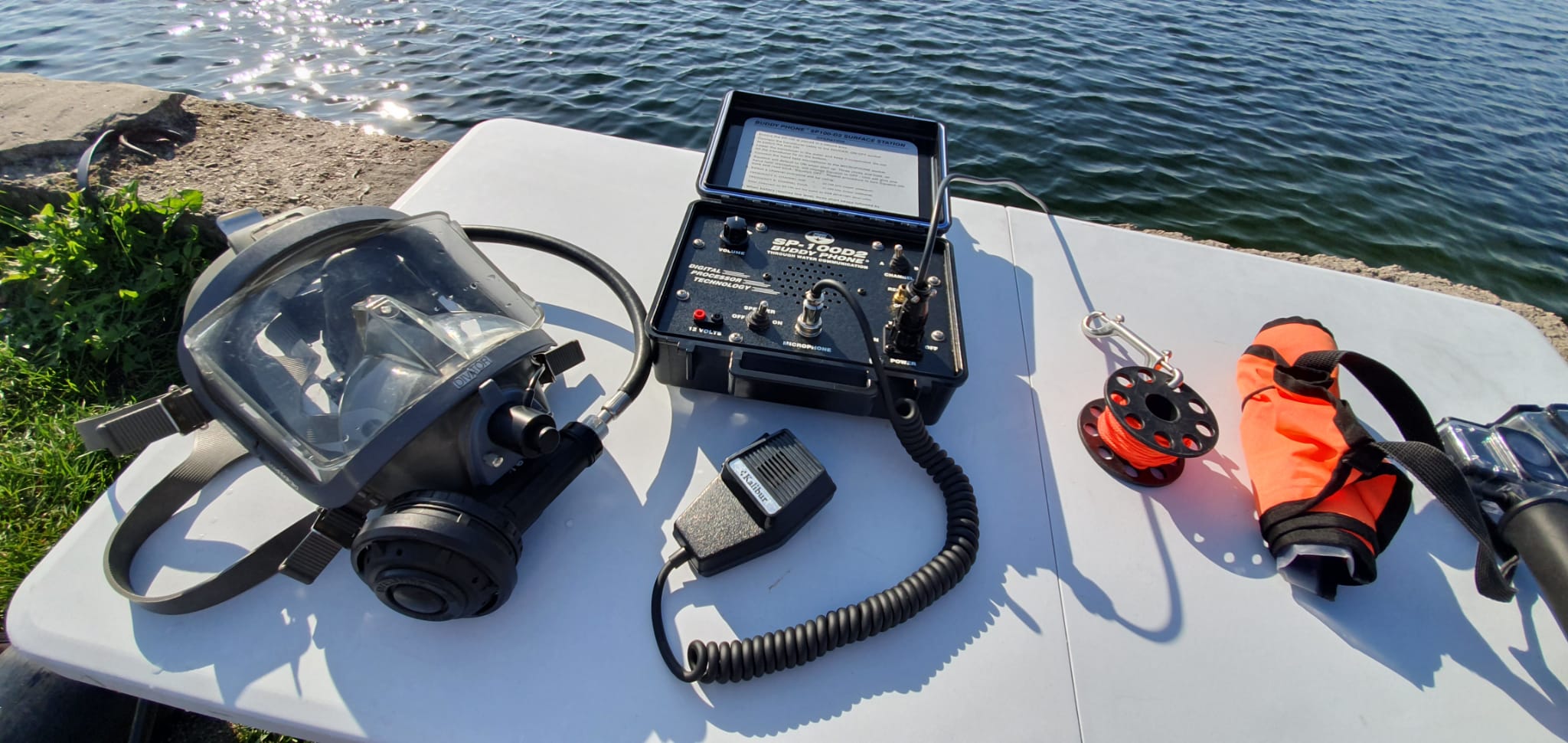
Colleagues of the underwater diving club "DIVINGS" from Poland, divers have made a sensational discovery in the depths of the Baltic Sea, they found a shipwreck of the 19th century, which was fully loaded with champagne. This historic find has fascinated both historians and champagne enthusiasts around the world. Last week, […]


