Description
Bathymetry works: creating a depth map for your business
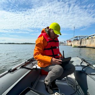
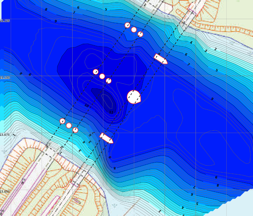
Bottom scanning and creating a depth map
Do you want to accurately explore the underwater terrain?
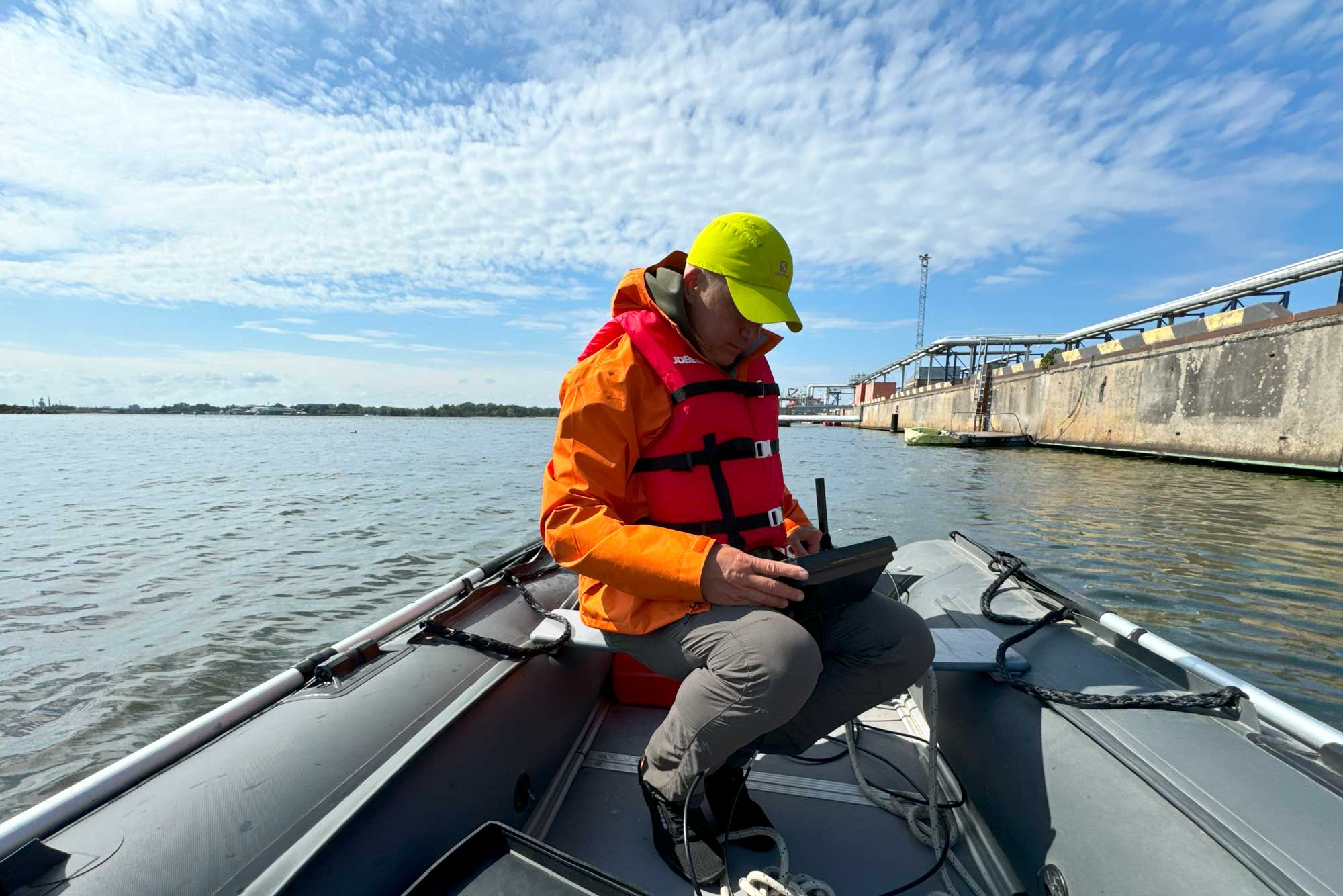
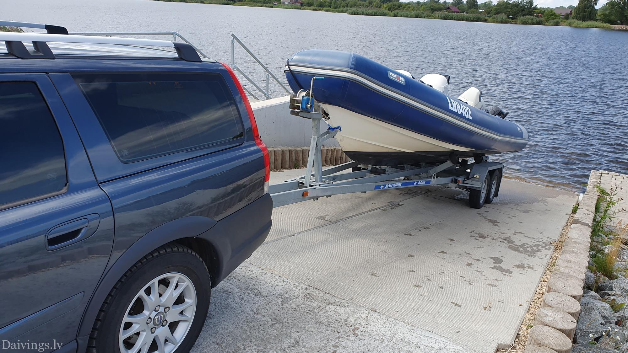
We offer professional bathymetry work, which includes bottom scanning and creation of a detailed depth map. Whether you are planning a diving expedition, exploring a new dive site, or just curious about the underwater world, our services will provide you with accurate and detailed information about your chosen water body.
What our service includes:
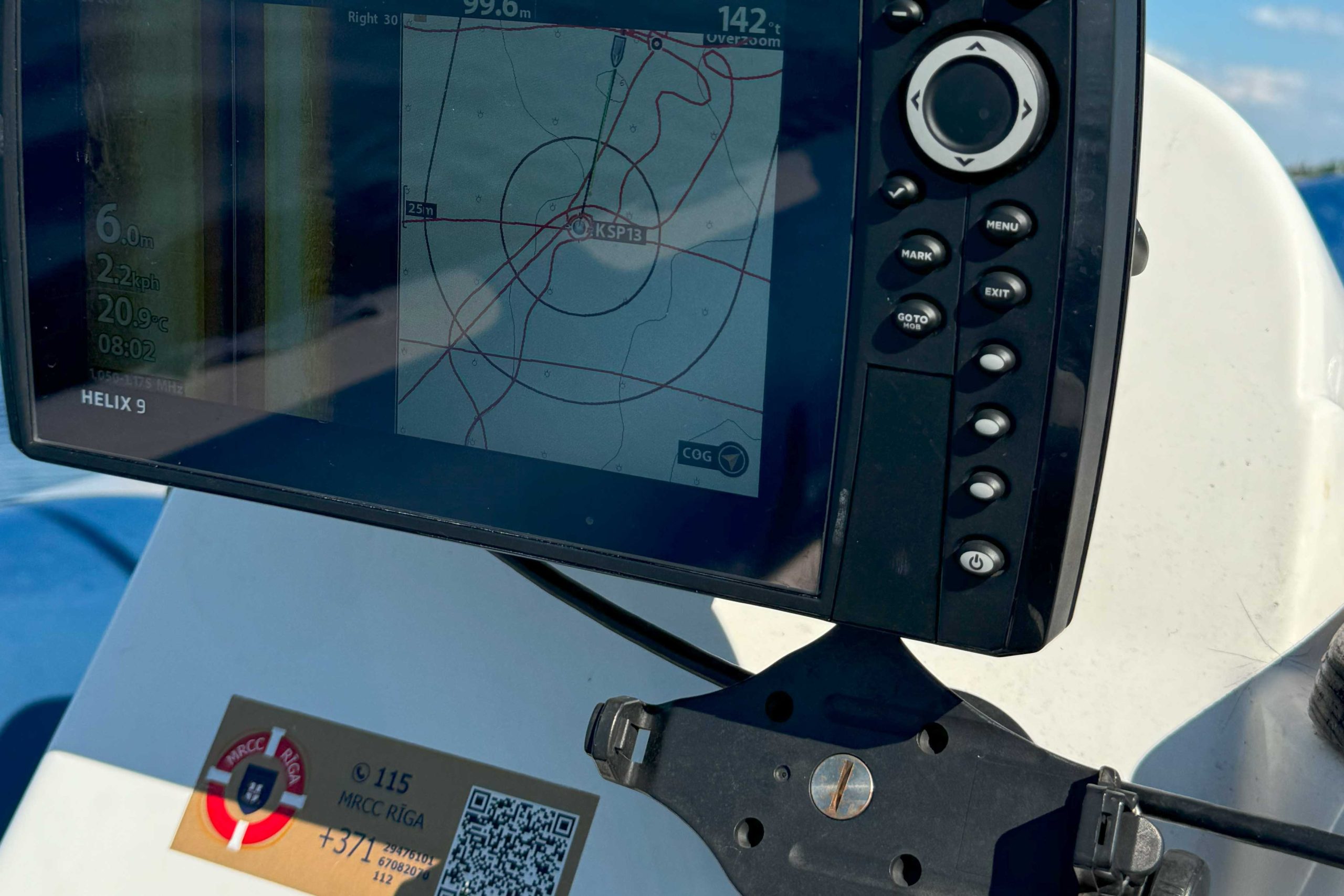
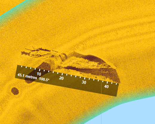
- Bottom scan: Using the most modern technologies, we will perform an accurate scan of the seabed terrain.
- Creating a depth map: Based on the obtained data, we will create a detailed depth map that will reflect all the nuances of the underwater terrain.
- Data processing and analysis: After creating the map, we will analyze the data and provide you with a detailed overview of the information found.
- Consultations: Our experienced specialists will advise you on the obtained data and help you interpret it.
Why choose us:
- Professionalism: Our team includes experienced specialists in the field of bathymetry.
- The most modern technologies: We use the latest technology to ensure high precision results.
- Individual approach: We provide an individual approach to each client and adapt services to specific needs.
- Operability: We carry out the work promptly, so that you can use the obtained information as soon as possible.
Application:
- Diving: Explore new dive sites, plan routes and discover hidden underwater objects.
- Fishing: Find the best fishing spots.
- Construction: Plan underwater structures.
- Environmental protection: Explore aquatic ecosystems.
Contact us to learn more about our services and receive an individual offer!
Accurate depth maps – the secrets of your water body revealed
Do you want an accurate and detailed depth map for your body of water? We offer professional bathymetry services that will allow you to fully understand the topography of your water body.
Why is a depth map important?
- Navigation: Provides safe and accurate navigation throughout the body of water, avoiding shoals and other dangerous places.
- Hydrological modelling: Assists in various studies and simulations related to water movement, water quality, and other hydrologic properties.
- Environmental management: Provides information on waterbody depth and topography that is important for environmental management planning.
- Other areas: Depth charts are also useful in fish farms, construction, search and rescue operations and other fields.
Our offer:
- Data collection: Using modern technologies, we perform accurate depth measurements throughout your water body.
- Data processing and analysis: The collected data is carefully processed and analyzed to create a detailed depth map.
- Map visualization: You will receive a clear and easy-to-understand depth map that reflects the topography of your water body.
- Additional services: On request, we can also perform other bathymetry work, such as sediment analysis, water quality measurements.
Why choose us?
- Experience: Our team has extensive experience in bathymetry.
- Modern technologies: We use the latest generation equipment that ensures accurate measurements.
- Individual approach: Each customer is offered an individual solution that meets their specific needs.
- Quality: We guarantee high quality work and accurate results.
Contact us to learn more about our services and receive an individual offer!