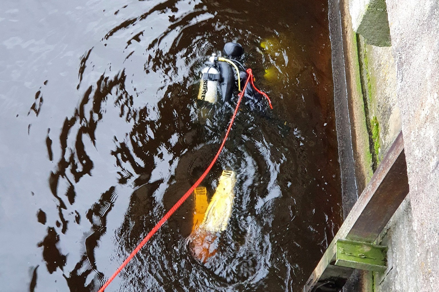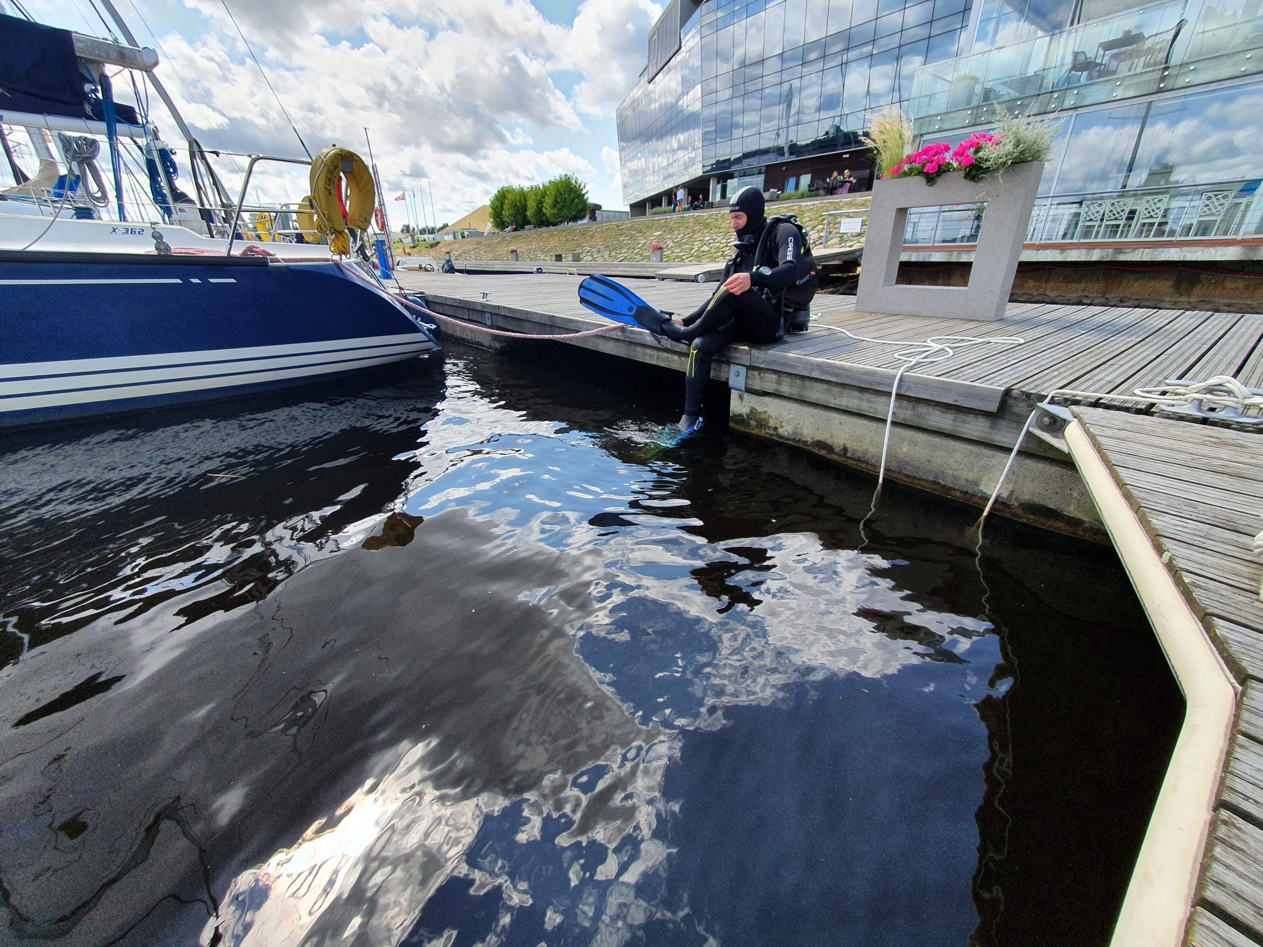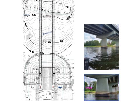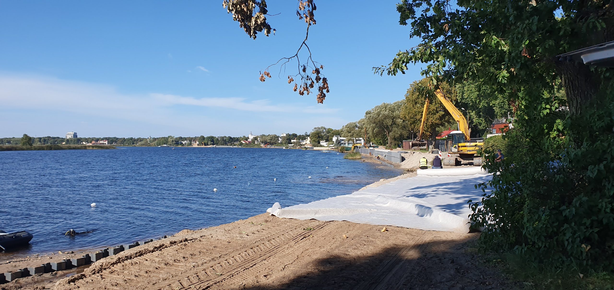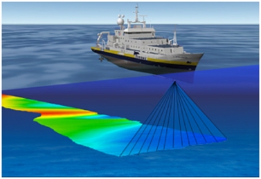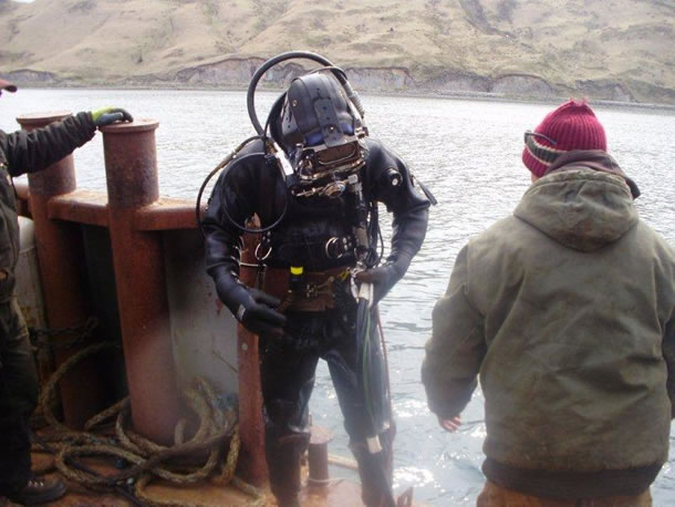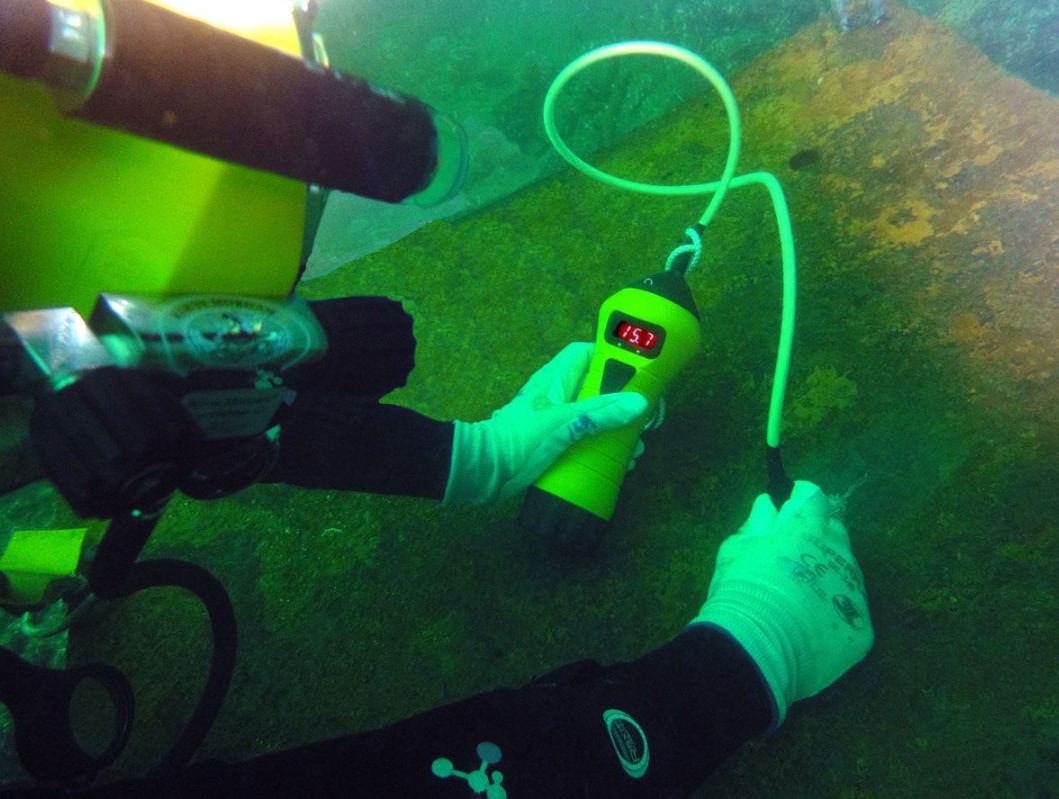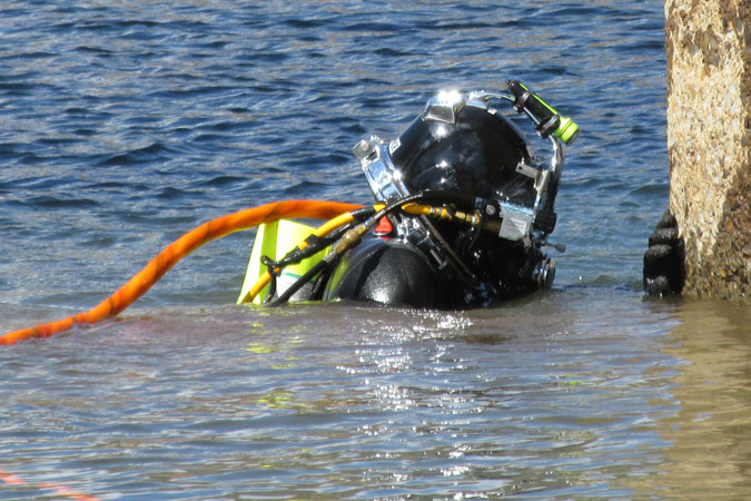
Improvement services of water bodies in Latvia
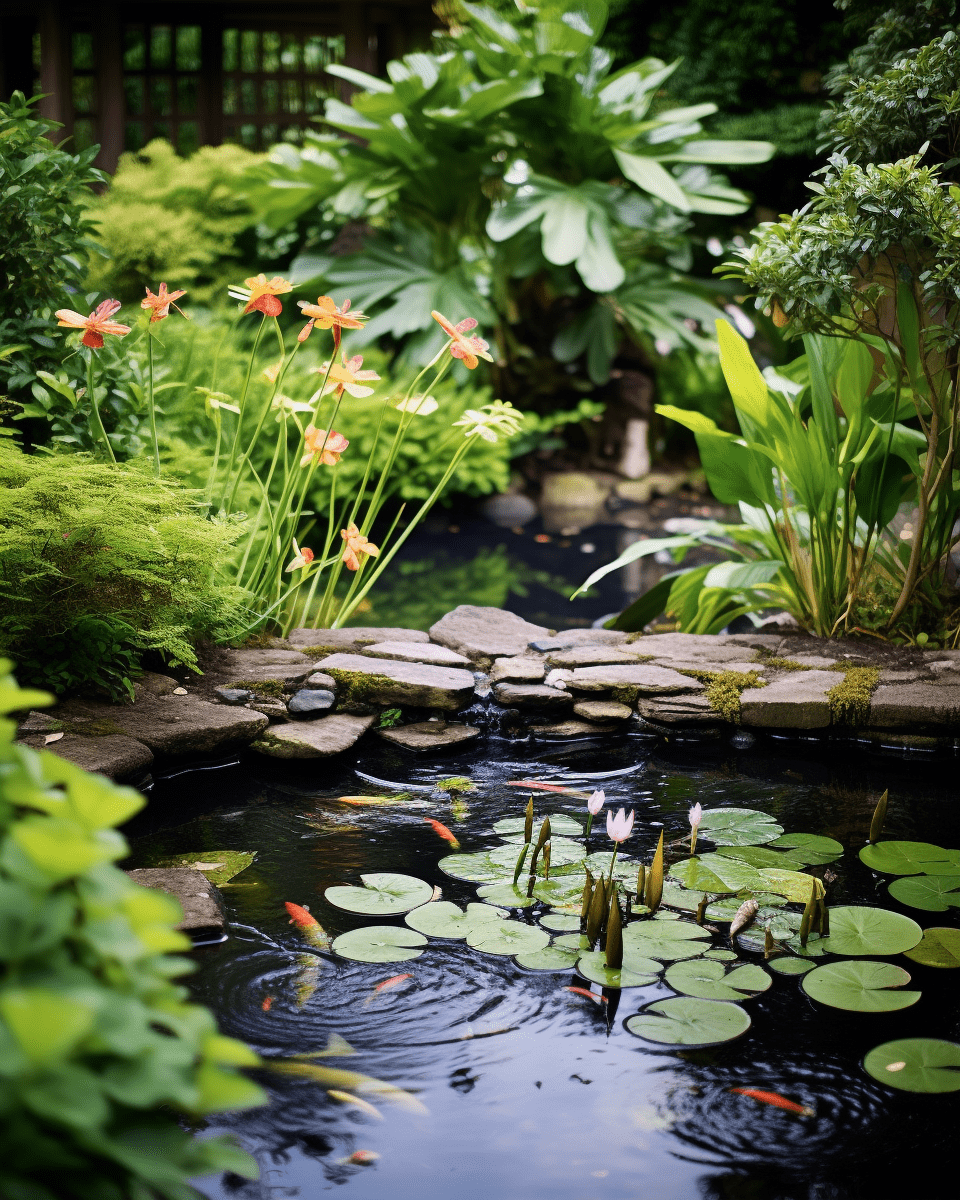
If you have a pond, lake or pool, it is important to maintain it so that it looks good and lasts a long time. A well-maintained water body can be both a beautiful decoration of the garden and also a practical center for water activities. Pond improvement works A pond can be both [...]